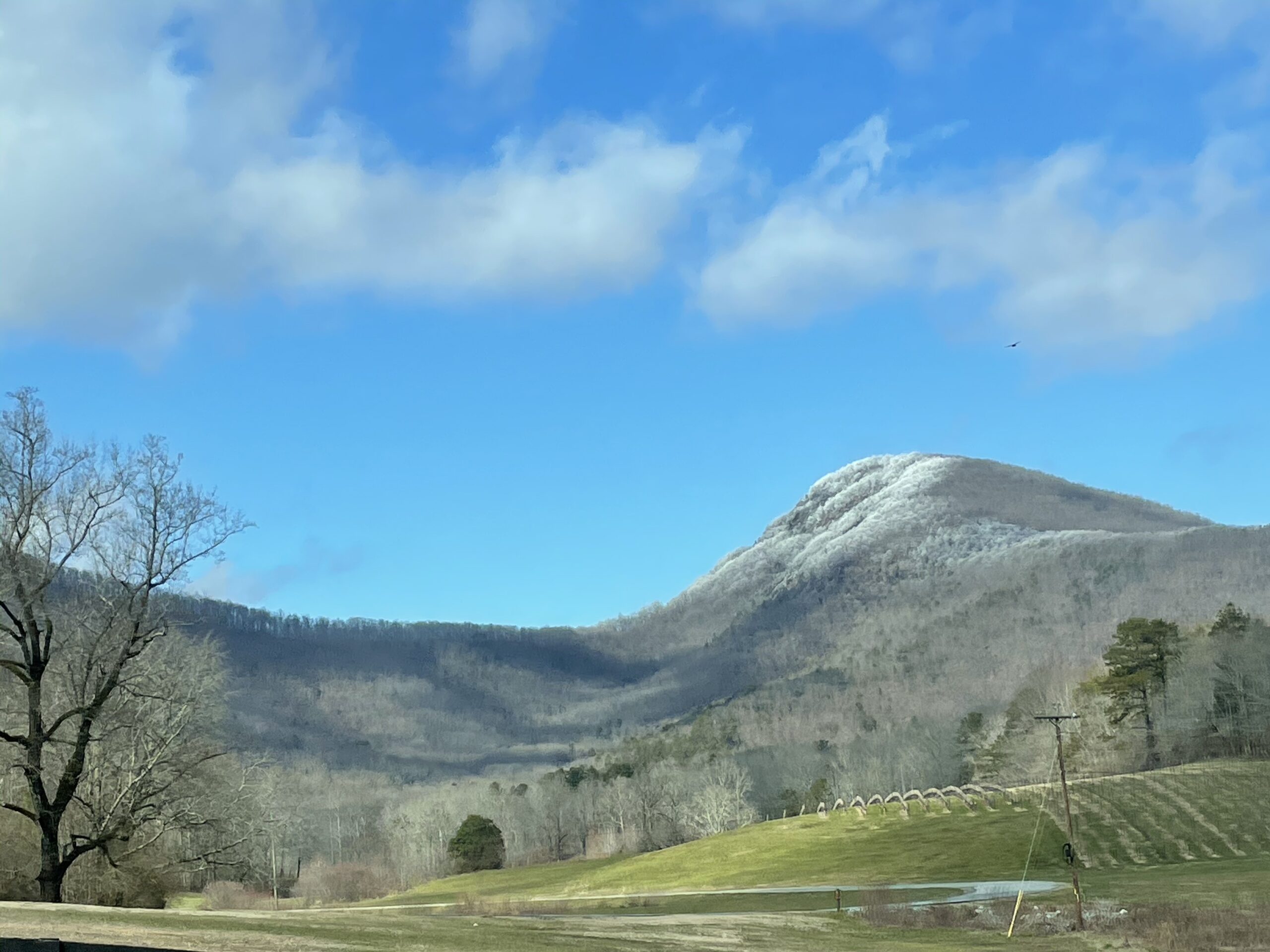
The Mount Yonah Trail is among the most iconic trails in Northeast Georgia. The mountain’s unique profile is easily recognizable from miles away. The hiker who accepts the physical challenge of traversing to the top is rewarded with amazing views.

Details:
- Name: Mount Yonah Trail
- Specs: 5.5 miles total, 1483 ft elevation gain, Strenuous.
- Address: 1900 Chambers Road, Cleveland Georgia
- Parking fees: $0
- Traffic: Busy. You will encounter plenty of other hikers even on weekdays.
- Restrooms: Pit toilets are located at the parking lot and approximately 3/4 of the way up. There is no running water.
- Cell Service: Excellent
- Best Time to Hike: Weekdays in the winter. The views are better with no leaves on the trees. And the cooler weather is more comfortable for hiking.


Journal:
From the sunny parking lot, the shaded trail is a welcome relief. However we warm up quickly as we immediately begin ascending the mountain. The path is covered with rocks. It crosses one small stream and winds around giant boulders.
Shortcuts abound and have caused erosion problems. These are clearly marked with signs requesting that hikers stay on the green blazes of the official trail.
Approximately 1/4 of the way up there is a brief downhill section. We enjoy it while we can. That is the only downhill section before we reach the top.
At the 1/2 way point, there is a clearing on the left with a great view. When we look to the right, there is a less-travelled trail. Those who have plenty of energy follow that up toward the rock wall to find some stone chairs around a fire-pit. Then they return to the main trail.
The Ascent Intensifies
Upon leaving the clearing, the ascent intensifies. Those with young legs and/or strong lungs have no trouble. Those who are not so young and spry need to make frequent stops to ‘take in the scenery.’ We remind ourselves that at least we are out here instead of sitting at home.
We reach an intersection with a gravel road. This is the road the Army Rangers use when they train up here. Around the bend are the (really dirty) pit toilets and a clearing where the Rangers often set up camp.
From here, there are two options. One is to continue walking on the gravel road. The other is to take the shorter but steeper dirt trail. Both take us to the top where we pause.
For those who are able to breathe, the scenery is breathtaking! The main trail loops around the top of the mountain offering almost 360 degree views. Meanwhile, numerous other paths cut through the area. A large clearing dotted with fire rings is located at the crest. It is a helicopter landing zone.
After enjoying lunch with a view, we begin the trek back down the mountain. Mature knees may complain a little (or a lot), but the sense of accomplishment (and a long soak in an epsom salt bath) silences them.